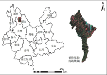
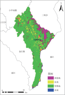
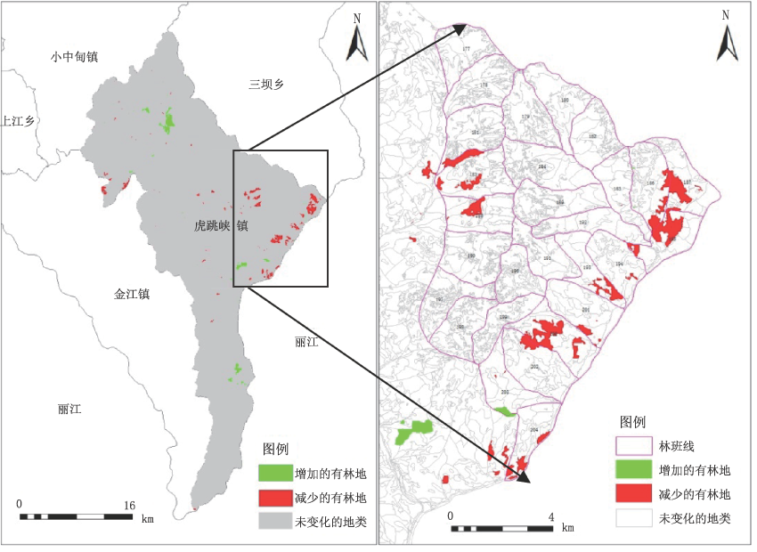
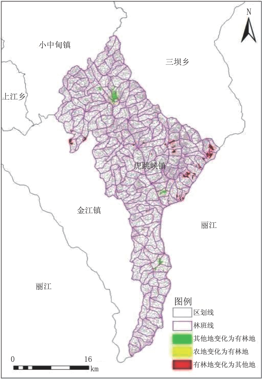
有林地
减少 | 有林地变化
为其他地 | 142 | 1-2,1-3,1-13,3-3,6-7,7-13,9-6,10-15,11-6,11-7,13-6,16-20,19-6,
25-9,25-1026-4,27-4,27-9,30-8,37-9,37-11,37-12,37-14,39-1,39-15,
40-3,40-23,41-6,44-8,47-13,49-10,52-4,52-13,52-26,54-5,54-8,55-13,
57-1,57-5,62-6,72-18,75-9,75-11,75-12,75-16,78-7,78-12,78-14,79-5,
80-4,82-5,85-2,85-3,92-5,94-3,98-7,100-1,100-10,103-9,108-6,108-
14,109-9,115-5,116-15,124-10,124-12,124-15,126-9,133-6,18-11,138-12,
176-14,181-4,183-1,183-4,183-6,185-,185-5,185-7,186-5,186-8,186-10,
187-4,187-5,187-6,187-7,187-11,188-2,188-3,193-5,193-9,193-10,
194-5,194-11,195-,195-4,195-5,195-9,198-15,200-6,200-7,200-11,201-
13,201-14,201-15,202-4,203-3,203-5,204-6,204-12,204-13,204-14 | 753.685hm2 |
有林地
增加 | 其他地变化
为有林地 | 62 | 6-6,9-5,9-12,9-13,10-21,18-24,23-2,23-23,24-10,26-20,27-10,27-15,
27-18,27-21,27-21,27-22,27-23,27-24,30-14,33-6,33-12,33-14,33-22,
34-1,37-6,37-11,50-19,52-9,74-12,97-2,97-7,98-4,115-4,119-6,122-4,
122-6,122-14,124-2,124-15,150-3,151-10,152-21,154-1,154-8,154-15,
154-19,154-24,169-21,186-4,186-18,188-7,202-21,203-15 | 443.9975hm2 |
 ), 岳彩荣(